Some mountain passes are a pleasant hour between two valleys and others are the main event of a travel day. The crossing over the Continental Divide on Colorado Highway 82, at just over twelve thousand feet, belongs firmly to the second group: a long climb out of Aspen, a switchbacked wall on the eastern side, a rougher and more open descent to the west, and no services of any kind along the way. It rewards planning and punishes a casual attitude.
What makes this crossing different
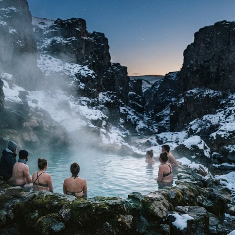
The road climbs from a valley floor at around eight thousand feet to a summit that sits above the trees, which means three distinct climate zones in a single drive. Snowbanks can sit at the top into early summer, wildflowers cover the tundra for a few short weeks, and by September the light has already gone gold on the slopes. Nothing about the route is consistent, and that inconsistency is what catches people out.
Facilities are the other difference. There is no fuel, no food and no reliable phone signal over the summit, so everything you need travels with you. Vehicles of awkward size are restricted or banned outright, and the limit is enforced by common sense long before any sign: the hairpins on the Aspen side are not the place to discover the turning circle of a rental motorhome.
Plan the crossing as a half day rather than an hour, even if the map says otherwise. Between the stops, the photograph-taking, the slow traffic and the weather you did not schedule, a relaxed crossing eats most of an afternoon and looks better for it.
Timing the crossing
Start early in the day, which means leaving the valley by mid-morning at the latest. Afternoon clouds build over the high country through the summer months, and while a thunderstorm at four in the afternoon is ordinary, it is unpleasant to meet one on a road with no shoulder and pullouts that end in a drop.
Check the operating season before you drive from a long way off. The pass typically opens in late spring or early summer once the ploughs finish, and it closes again with the first sustained snow, usually around the start of November. Those dates are estimates, not promises; a storm can close it early and a dry autumn can hold it open, so read the state road notice rather than the guidebook.
The direction matters too. Climbing from the east puts the tightest switchbacks under you with the valley falling away outside the window, which some drivers prefer and others find tiring. Coming down that side means longer braking and more patience with traffic behind you, so the honest advice is to do the climb when you are fresh and the descent when you have already seen it.
Where to stop
The first stops should be the low ones. The forested stretch below the tree line has picnic ground and running water, and it is the last comfortable place to eat, stretch and check the sky before the road commits to the summit. A stop here also lets fast traffic pass you in a place where passing is legal.
Just past the top, the remains of a mining settlement sit off the road: foundations, a couple of standing walls and the kind of quiet that makes the history of the district feel recent. The whole area was worked in the silver era, and the ruins explain why a road this awkward was ever built in the first place.
Above the tree line, stop at the marked pullouts rather than on the verge. The views open towards the high peaks of the Elk range on one side and the Sawatch on the other, and on a clear evening the light on that horizon is the reason to have left early. Carry a jacket out of the car even for a two-minute look; the wind at twelve thousand feet does not care that it is July.
When the weather turns
Above the tree line there is no shelter, and the temperature over the summit can fall by ten degrees in the time it takes to walk to a viewpoint. Hail arrives in the summer with no warning, snow has fallen on this pass in every month of the year, and a wet road at altitude ices over in the shade long before it does in the valley.
The decision tree is simple. If the sky builds while you are still below the trees, keep climbing and get over. If it builds once you are on top, either commit to the descent immediately or turn round and drive back down the way you came while you still can. Sitting at the summit to see what happens is the option that ends up in the local news.
Boulders and gravel appear on the road surface after a heavy shower or a freeze-thaw night, so leave more space than the sign suggests and expect to brake for debris. Pull fully off the pavement to let trucks pass; the road is narrow enough without someone's mirrors in your lane.
The other side
Fuel and food wait at the end of the descent, and both are worth more than you think after three hours without them. Pull over somewhere safe before you check a map or your phone, because the first stretch down is where tired drivers make lazy decisions.
The crossing earns its reputation. A high road that opens for half the year, offers three landscapes in an afternoon and closes without much apology is a rare thing, provided you treat it as a day's plan rather than a line on the map.